Personal project
FdF
Developed a 3D wireframe visualization application in C using isometric projection and mathematical coordinate transformations.
Overview
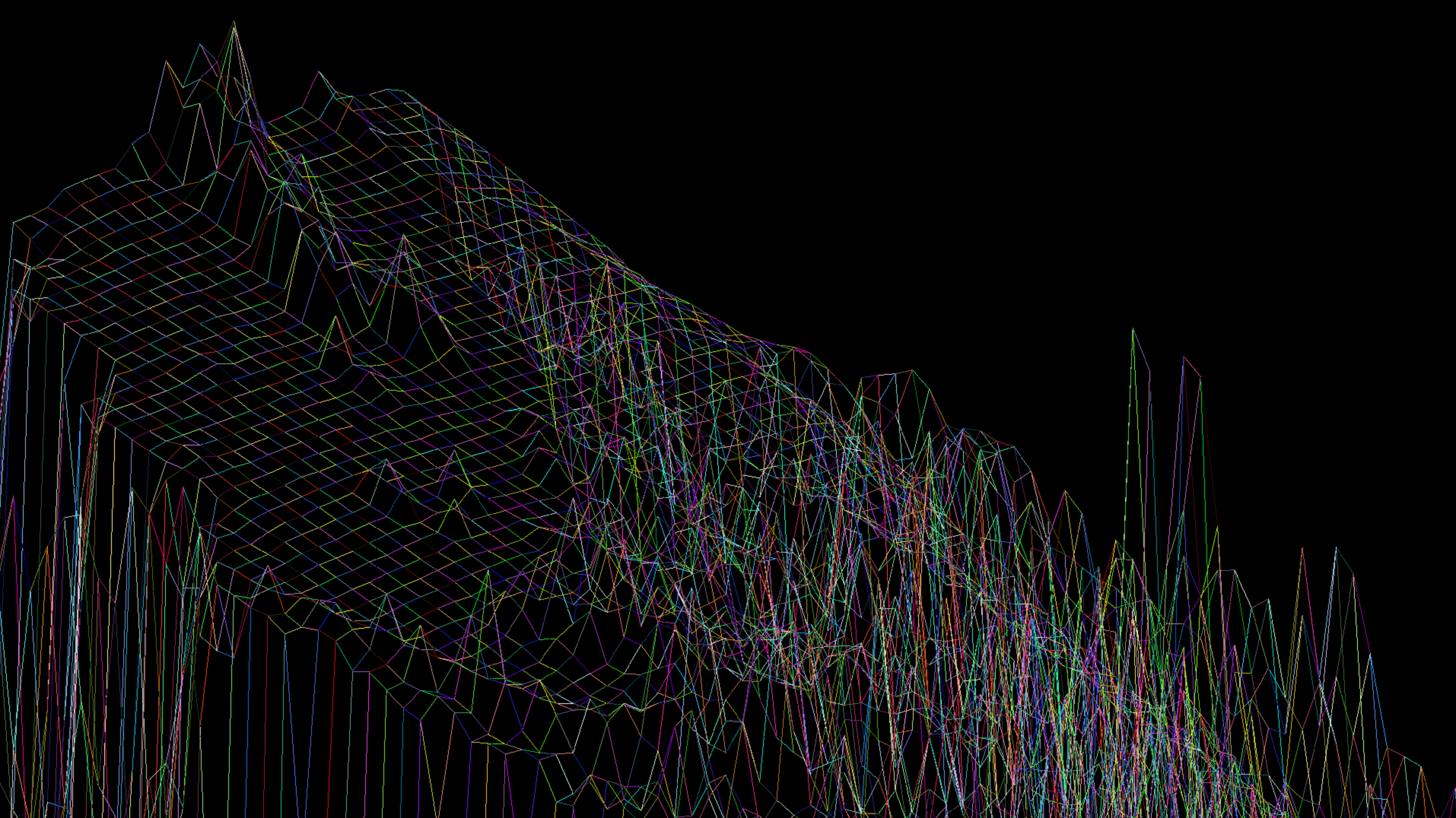
FdF is a graphics project from École 42. It reads a landscape model from a .fdf file and displays the coordinates as an isometric wireframe.
Each value in the input describes a point’s altitude. Together with the position in the file, these values describe a landscape that can be projected into a two-dimensional window.
Implementation
The program is written in C and uses MiniLibX for the graphics window. Its focus is rendering the landscape, managing the window, and closing cleanly when Escape is pressed or the window is dismissed.
I implemented efficient parsing of topographical datasets and interactive rendering features, including rotation and zoom, using isometric projection and mathematical coordinate transformations.
The source repository includes the implementation, example maps, and screenshots. This is a personal learning project from École 42.
Screenshots